August 30, 2010
Hurricane Earl in Historical Context
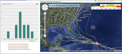
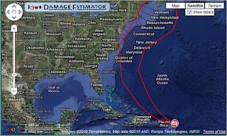
Below is a map produced by the ICAT Damage Estimator of the current National Hurricane Center 5-day forecast cone, showing that the storm is forecast to remain offshore. If the storm were forecast to make landfall, then you could use to ICAT Damage Estimator to compare normalized damage from analogous historical storms under 2010 conditions.
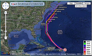
The graph below shows the individual forecast model predictions for the track of Earl, illustrating a high degree of agreement across the models.
Stay tuned, Fiona, the next storm in line could be interesting.